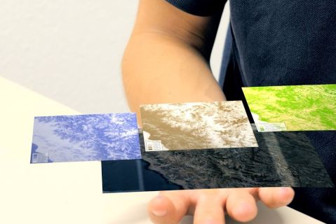
Using satellite imagery and Artificial Intelligence to develop customized drinking water concepts – a video from the TRUST-project
| Date |
Date
|
As part of the GRoW-project TRUST, researchers are training an Artificial Intelligence (AI), with the help of which aerial photos can be used to make statements about soil properties.
Essential for the development of urban drinking water concepts in regions with water shortages are detailed information on soil conditions in the river basins. However, depending on the terrain, this data is difficult to collect. Researchers at the Karlsruhe Institute of Technology (KIT) are now working with an AI-based method.
As part of a joint campaign by the Institute of Photogrammetry and Remote Sensing (IPF) and KIT's Institute for Water and River Basin Management (IWG), GRoW researchers have taken soil samples in the valley of Lurín, Peru, and scanned the area with a hyperspectral camera mounted on a hexacopter. Through this approach, the AI was trained, making possible the derivation of information on soil conditions – such as soil moisture, the type of vegetation or the soil composition – based on satellite and aerial imagery. In the long run, this approach has the potential to replace costly and expensive measurement campaigns to identify detailed information about the status of groundwater.
The following video provides an insight into the functionality and practical application of the method:
Further information is available on the website of the GRoW-Project Trust (in German and Spanish) and on the KIT website (in English).

